
and Tributaries Project
Home |
Climate Change Project |
Table of Contents |
Courses | Search |
| Original Link | Visit our new History Page. |
|
|
The Mississippi River and Tributaries Project |
The Mississippi Drainage Basin
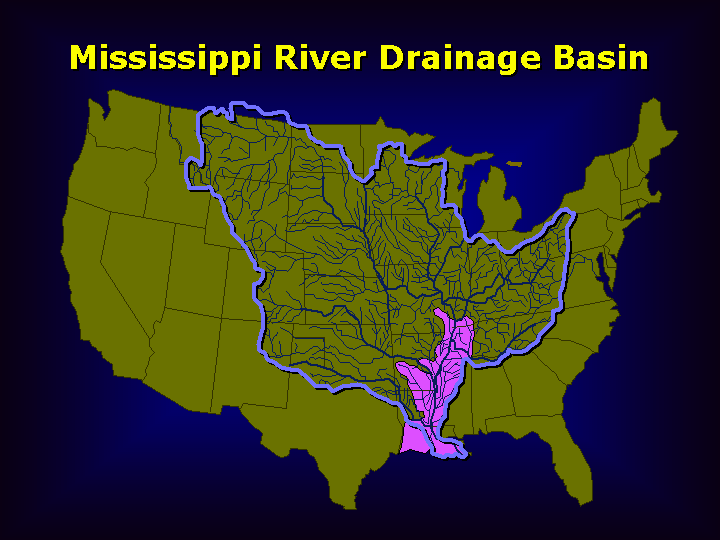 The Mississippi River Drainage
Basin,
The Mississippi River Drainage
Basin, with MR&T Project area (in pink). |
|
The Project Flood
The flood control plan is designed to control the "project flood." It is a flood larger than the record flood of 1927. At Cairo, the project flood is estimated at 2,360,000 cubic feet per second (cfs). The project flood is 11 percent greater than the flood of 1927 at the mouth of the Arkansas River and 29 percent greater at the latitude of Red River Landing, amounting to 3,030,000 cfs at that location, about 60 miles below Natchez.
Description of Plan
Main Stem Levees
Floodways
Channel Improvement and Stabilization
| Cutoffs | Shortening the river and reduce flood heights. |
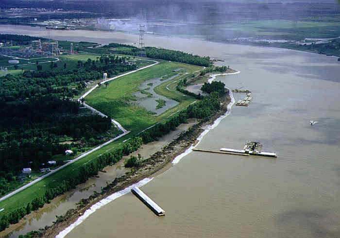
| Revetment | Controlling the river's meandering. |
| Dikes | Directing the flow. |
| Improvement
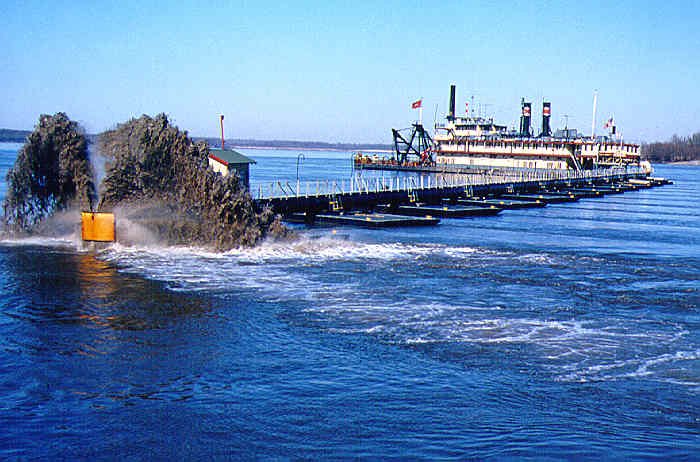
Dredging |
Realigning the channel. |
 |
|
| The Corps Dredge Jadwin at work. | Mississippi River revetment construction. |
Principal Tributary Basin Improvements
Old River Control
| Navigation
|
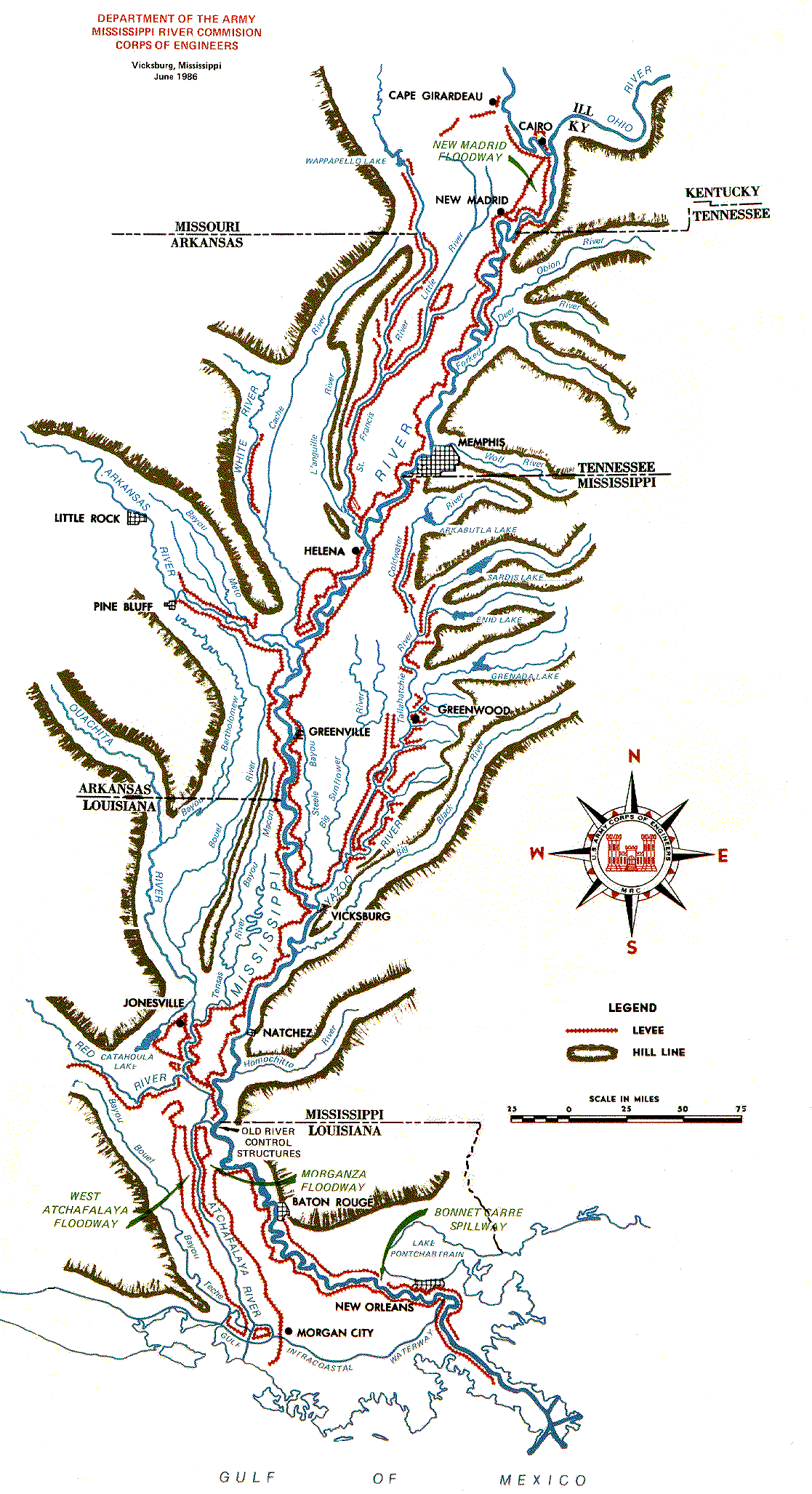
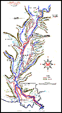 The MR&C Project Area. View larger map (205 kb) |
|
|
The Climate Change and Public Health Law Site
The Best on the WWW Since 1995!
Copyright as to non-public domain materials
See DR-KATE.COM for home hurricane and disaster preparation
See WWW.EPR-ART.COM for photography of southern Louisiana and Hurricane Katrina
Professor Edward P. Richards, III, JD, MPH - Webmaster
Provide Website Feedback - https://www.lsu.edu/feedback
Privacy Statement - https://www.lsu.edu/privacy
Accessibility Statement - https://www.lsu.edu/accessibility
